-
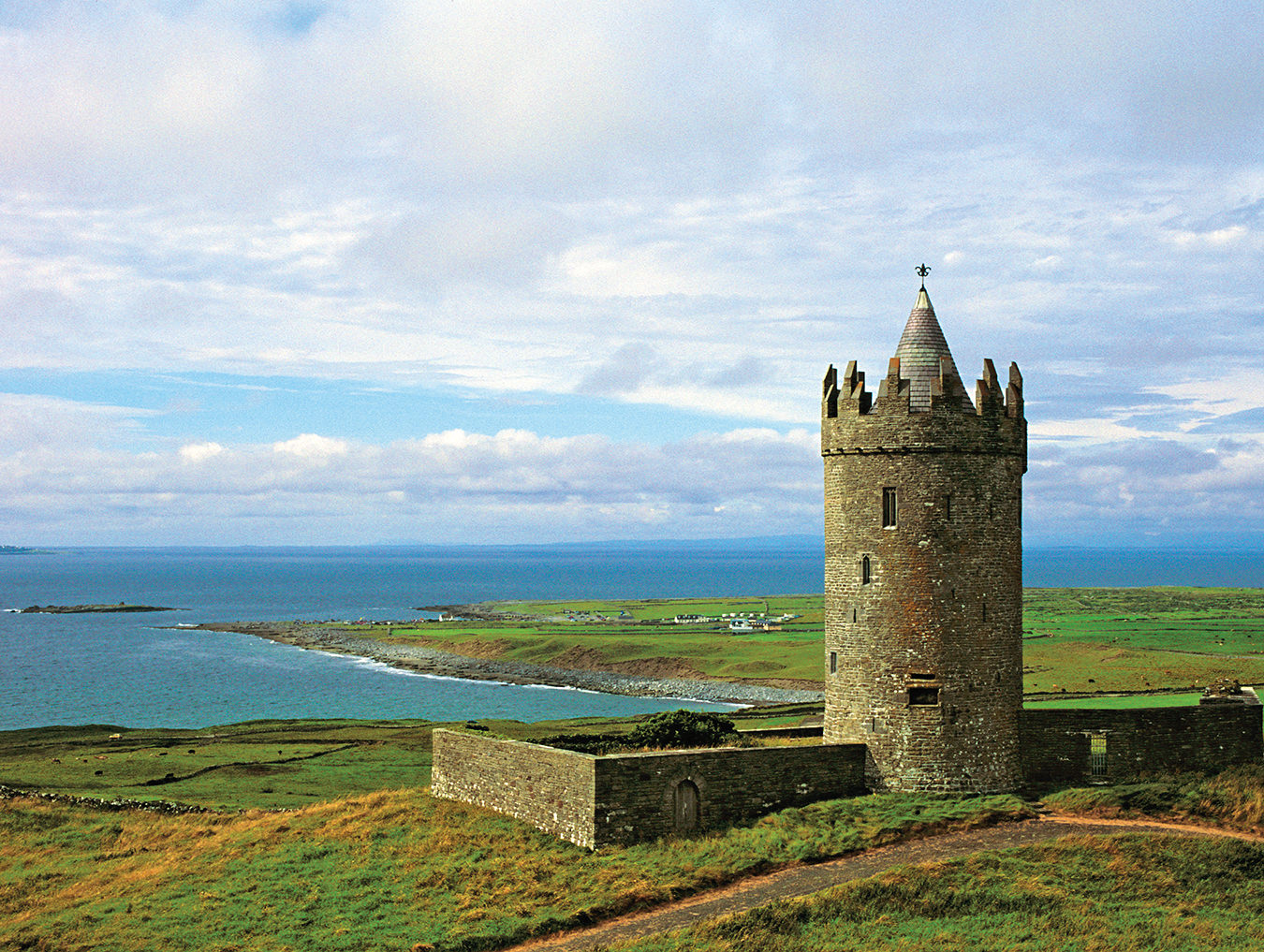
The 16th-century Doonagore Castle near the Cliffs of Moher.
-
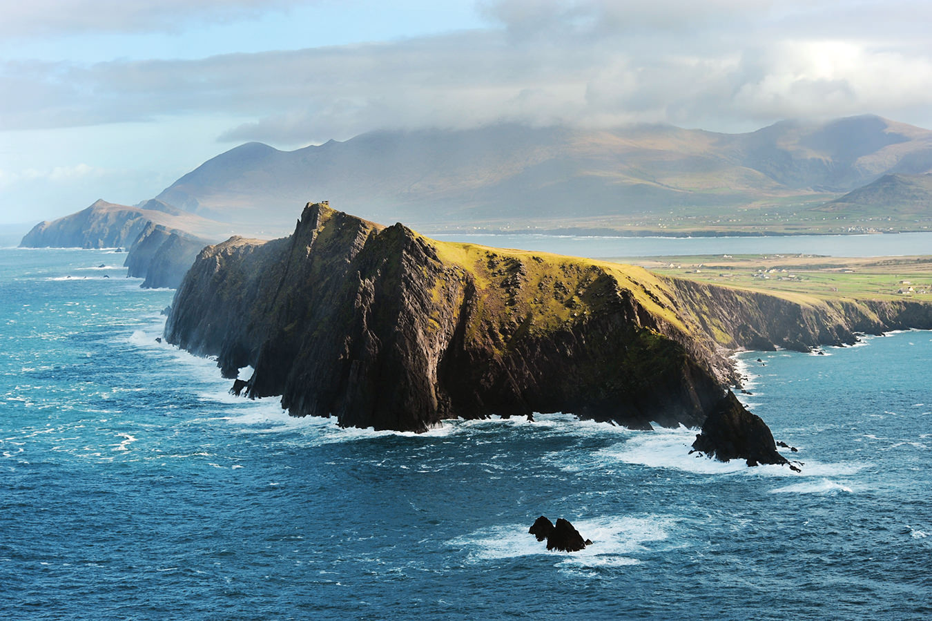
The scenic Slea Head Drive is a circular route, beginning and ending in Dingle, County Kerry.
-
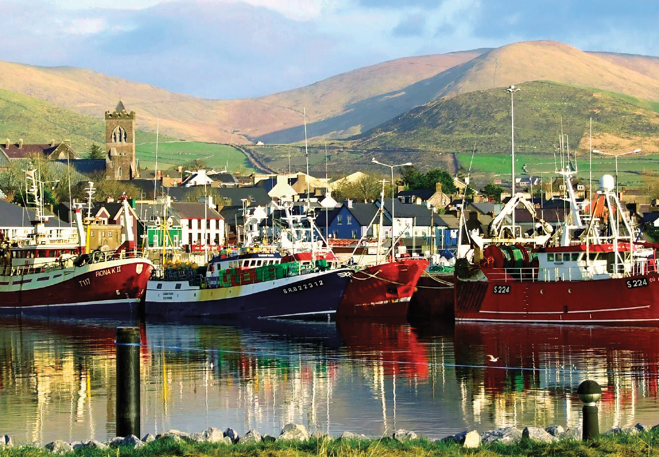
The Dingle Marina in County Kerry, a major fishing port and tourist hub, is also home to a frequent, locally famous visitor: a wild bottleneck dolphin nicknamed Fungie.
-
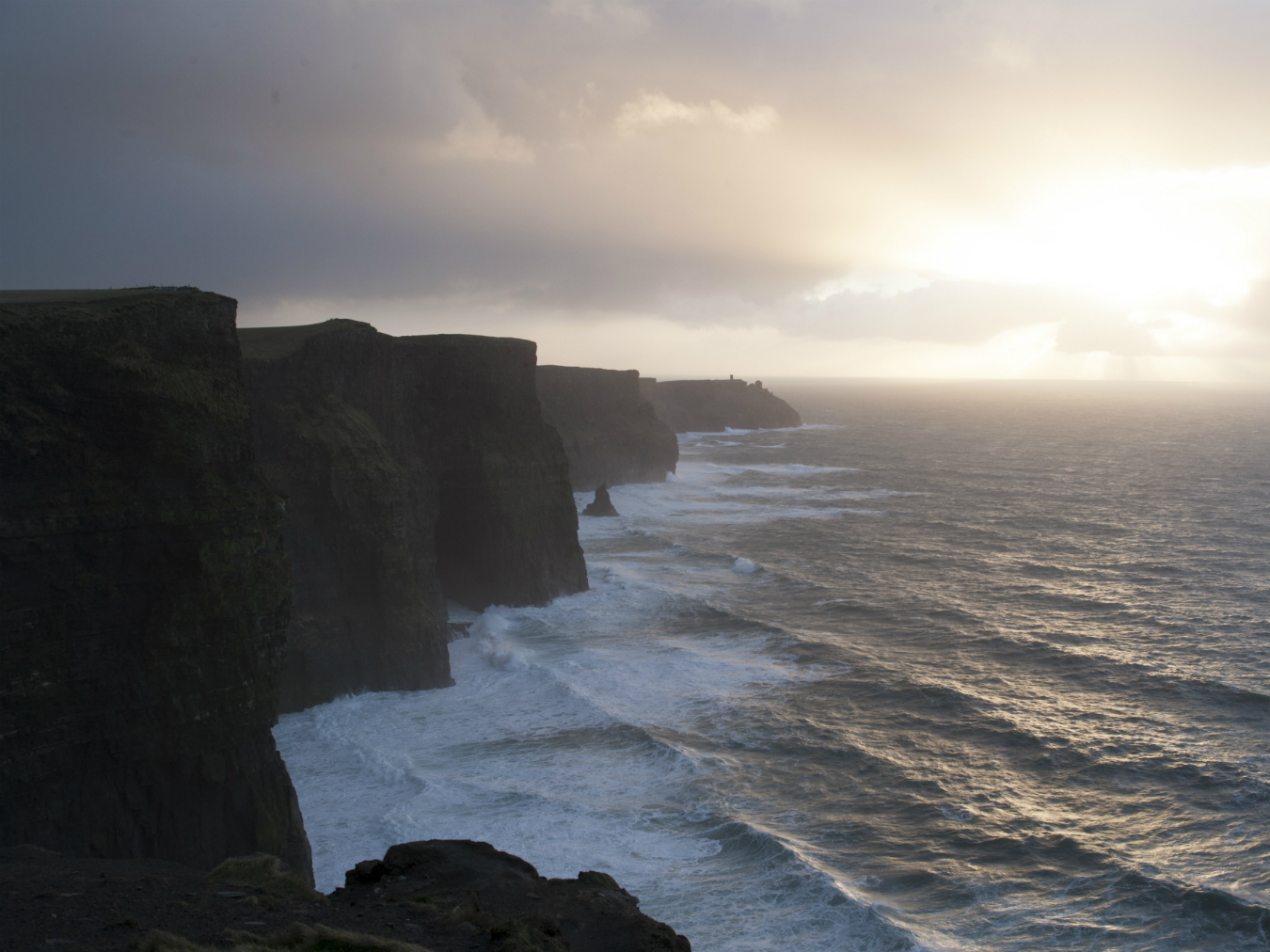
The spectacular Cliffs of Moher in County Clare.
-
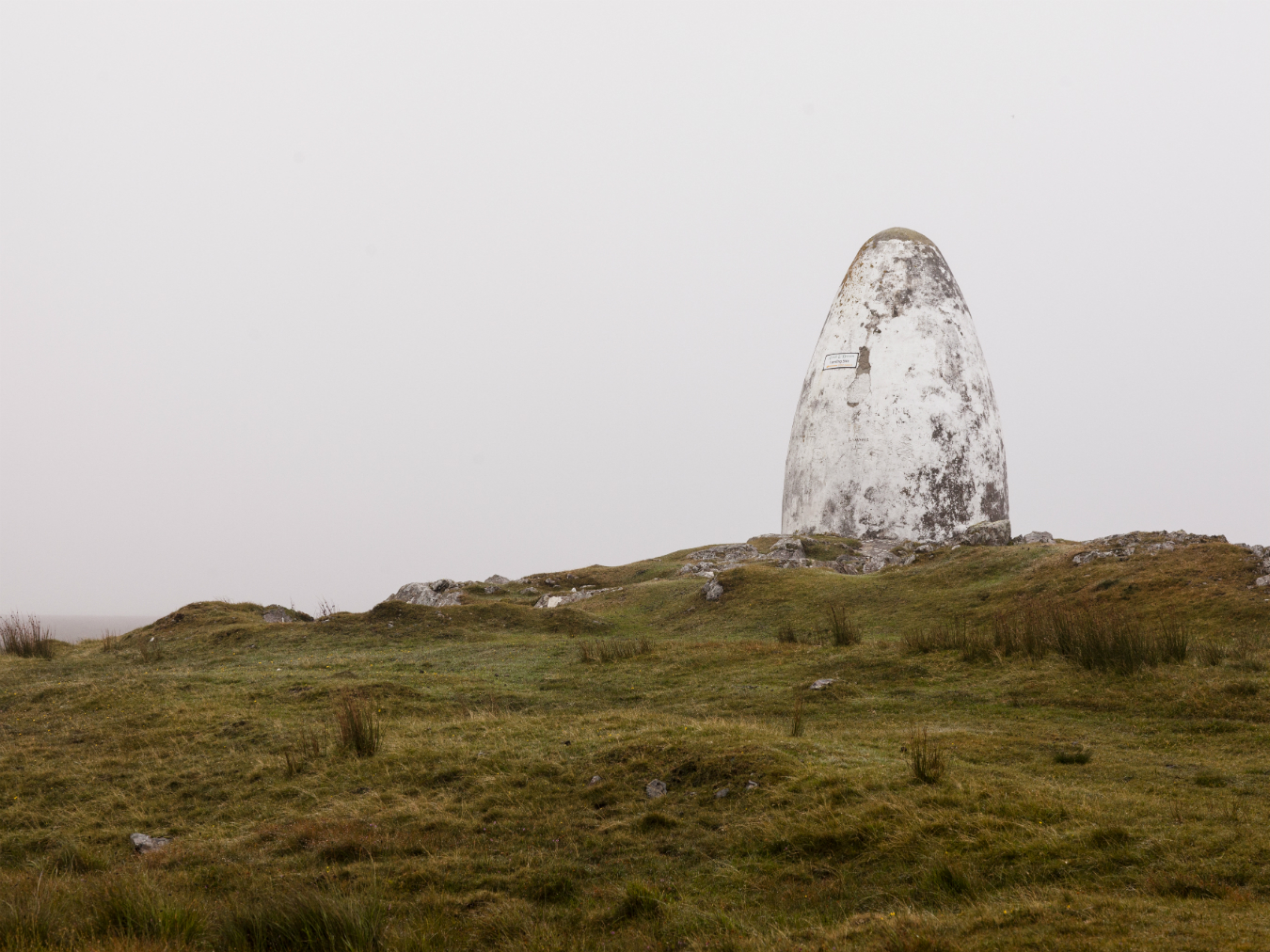
Derrygimlagh Bog in Roundstone, County Galway, the landing site for Alcock and Brown’s first non-stop transatlantic flight (1919).
-
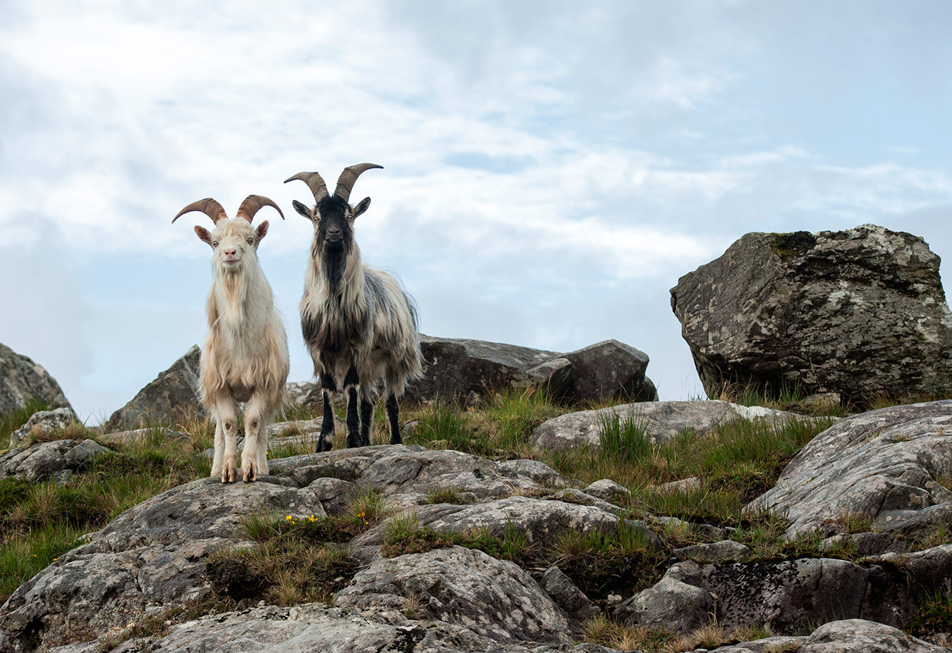
Wild goats along the Wild Atlantic Way.
-
Slieve League in County Donegal.
-
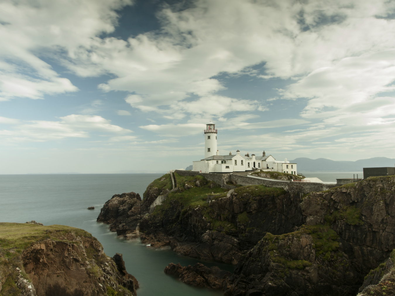
Fanad Head Lighthouse in County Donegal.
-
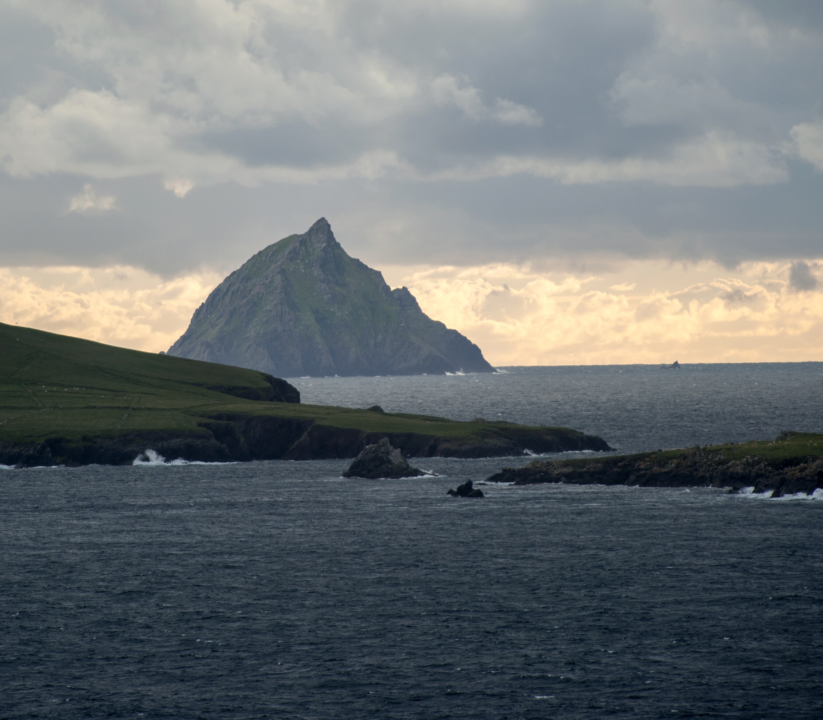
The Blasket Islands in County Kerry.
-
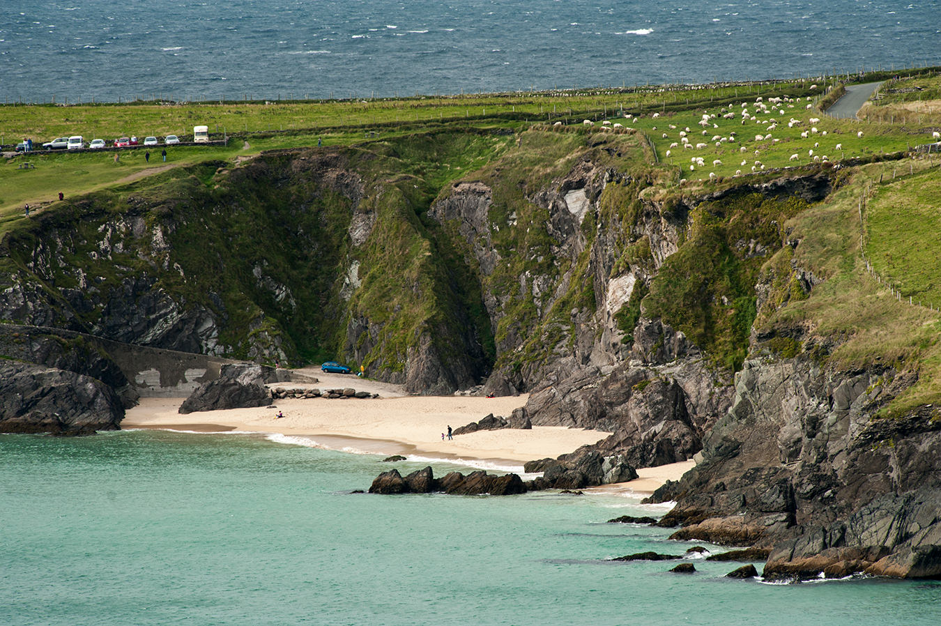
Coastal views along the Wild Atlantic Way.
-

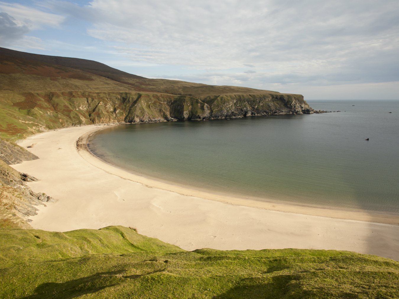
Donegal Bay in County Donegal.
-
The Blasket Peninsula in County Kerry.
Ireland’s Wild Atlantic Way
A natural wander.
Pat Sweeney is drawn to places where many fear to tread. Hanging over the edge of the Cliffs of Moher with his arms balanced and neck craned at 90 degrees, the farmer-turned-trailblazer from County Clare on Ireland’s far west coast calls to a crowd to overcome their vertigo. “Here, lie down, a bit further, now look—there she is.” A baby black-and-white guillemot is nesting in a protected dip of the rock face, its adolescent feathers moulting around and floating down to the Atlantic Ocean far below.
It’s with a sixth sense that Sweeney navigates these cliffs while leading visitors on the Doolin Cliff Walk that traces a path he spearheaded, along with the co-operation of 39 farmers whose land the trail crosses. Looming just over 200 metres at their highest point, the Cliffs of Moher spell drama and draw over one million travellers annually, but only about 5 per cent of visitors hike the three-hour trail, which skirts the sea with accompanying signage (“Danger: Cliffs Can Kill”) and very little in the way of fences. As seagulls kettle below us and the winds kick up, Sweeney tells tales of the area’s history and ecology, points out the secret surfing spots below, and divulges stories of a youth spent en plein air. (“This coastline is every kid’s dream backyard and every mother’s nightmare,” he says.) The hike itself is a wild ride. “It’s very important to see that, in many ways, we’re walking back in time here,” he says, an ambassador for his culture’s earthly pride. “The Irish fought hard for their land—remember that.”
Sweeney is onto something more significant than just a smart entrepreneurial model through which to drive tourism; he’s pushing what this part of the world is all about. While it may be a driving route, the world’s longest defined coastal one at that, the Wild Atlantic Way should never be experienced rooted at vantage points or lookout stops, nor from the passenger seat alone. I discover that only by trekking through this temperate maritime climate—envision boots crunching though lichen, hands grappling with a fishing rod, or the swell of the cold Atlantic beneath a surfboard—can visitors truly, experientially, discover the way.
The Wild Atlantic Way cuts from County Donegal in the north and heads south, following the coastline through counties Sligo, Mayo, Galway, Clare, Limerick, Kerry, and Cork. The 2,500 kilometres of road wends through towns that epitomize that cliché of quaint before turning into blankets of countryside. I’m here to discover this largely untouched coastline and its wild personality, diffused with pockets of beach and bluff along the way. To access, it’s very straightforward to fly into Shannon Airport, nearby the route, or it takes as little as two hours to travel from Dublin in the east, crossing the River Shannon—which divides Éire, the country’s name in Gaelic—as you go. (Whether ending or beginning in uppermost Donegal, one can always veer east into Northern Ireland—trading in euros for British pounds and booking a few nights in Belfast—if only to compare the two very different vibes of a country divided and to explore the north’s history.)
It’s with a sixth sense that Pat Sweeney navigates the 200-metre-high Cliffs of Moher in County Clare. “In many ways,” he says, “we’re walking back in time here.”
On the open road, recurring sights include landowners fixing fences or laying stone for walls; I see a man playing a flute in front of a picture window, gazing out to the ocean. There are mines for peat, the natural resource that has been lying in wait for harvest for thousands of years (about 18 per cent of the country is covered in bogland, a distinctly Irish fingerprint on the terrain). There’s a quiet pride of place here amongst the low hills and fields of grazing sheep and cows, and, of course, this wouldn’t quite be Ireland without the requisite historic castles. Here in County Clare, many of these were built by the O’Brien clan, though of the remnants and occasional ruins, not all crumble: and some are refurbished with modern interiors inside their ancient edifices.
This county seduces me from the start, but it’s more a slow burn of affection than love at first sight. The Burren is one reason why: stretching over 360 square kilometres through counties Clare and Galway is this region of unique ecology and exposed limestone. The approach is lacklustre, its terrain appearing drab through the windshield on a cloudy day, but up close the Burren reveals itself as an organism all of its own, weathered from several million years spent above sea level—back when Ireland was connected to the rest of Europe—and packed with marine fossils. The only way to demystify the secrets of the Burren is to embed oneself in it.
I fall in step behind Mary Howard, a local Burren expert, as she lithely hops over rock formations she has spent a lifetime “rambling” through, and studying. “When it comes to the Burren, it is hardy. It protects itself,” she says, reaching down to identify a Palearctic orchid. “These are autumn ladies’ tresses—the first of the season.” I kneel beside her, pressing fingertips into a patch of olive-green moss that bounces back like a thick sponge. The Aran Islands are visible in the distance, and before that, the sea cascades by, the saltiness in the air is like licking parched lips. The higher up you walk on the hills the older the surroundings become, and the microcosm widens in scope, revealing bounty such as sloe berries (which make a fantastic gin), rosehips, wild hazel, and rock samphire, an edible plant that has a flavour akin to salty licorice.
Other than limestone, wide fields coexist with prehistoric stone forts dating to 3500 BC, along with short walls built in the late 19th century as a form of poor relief in exchange for food. “These meaningless walls and meaningless roads were built as make-work projects during the [Irish potato] famine,” says my Wild Atlantic Way guide Will Collins. Ireland’s past was scarred when the blight hit potato crops in 1845–50; the British were largely unsympathetic to the cause. Well over one million Irish were lost to the Great Famine and another two million attempted exodus, many travelling to the United States, bundled into “famine ships” and bound for New York’s Ellis Island. (Almost symbolically, the presence of Irish music, which is the soul of many communities, faded during this time.) Born partly from this, a sense of tragedy exists in the genetic memory of the Irish, as well as a fierce reverence toward their land.
Prior to the blight, an 1841 census recorded just over eight million people living in Ireland, making it the most densely populated country in Europe at that time. Today, conversely, the country’s sparse population allows ample room for agriculture, which still defines much of the country. It is also home to the very first instances of traceable farming—virtually every cut of meat can be traced back to its farm of origin—and the country’s lush, sweet grass is said to give Irish beef its renowned flavour. There is also, of course, a deeply entrenched admiration for the potato.
Overland is undoubtedly revered in these parts, but there is a subterranean kind of admiration due at the Doolin Cave, also in County Clare, for a glimpse of their famed stalactite. Discovered underground in 1952, it is the largest and heaviest known formation of its kind in the world, weighing over 10 metric tons and clocking in at 7.5 metres in length—but the luck of the Irish is not with me one afternoon, when I arrive during a power outage. (The reason is all country charm: “We think a bull in a neighbouring field caused it,” says the cashier in the gift shop.) All visits are cancelled for a few hours, but later, when the lights come on, I’m donning a hard hat and headlamp, clambering through a damp tunnel. At the end of it, the eerie stalactite droops from the ceiling like a cluster of imposing icicles or a treasure hidden in a chest, ghostlike in the dark underground.
In County Kerry, farther south, and following a picturesque offshoot of the Wild Atlantic Way known as Slea Head Drive, there is a solitary formation of a different kind: the Blasket Islands. Adjacent to these islands is the Blasket Centre, on the tip of the jutting Dingle Peninsula, and reachable via a new road because “the old road simply fell into the sea one day,” our guide Collins informs us. (The westernmost point of Europe is also located on this peninsula, and locals like to say that “the next parish over is New York.”) The Blasket Centre acts as community centre, but is also a hub for anthropological study and an ode to the Irish language, telling the story of the people who lived on the islands prior to 1953, when the Irish government deemed them uninhabitable and ordered everyone to move off. No more than 170 people lived there at any given time. They were a people of the earth in the purest sense, preferring their sea-locked ways to a mainland existence, and likely never would have ventured off the islands had they not been forced.
With no more than 170 inhabitants at any given time, the remote Blasket Islands have produced more literary figures per capita than anywhere else in the world
In the 1920s and 1930s, the Blasket Island writers produced books that are deemed classics in the world of literature, depicting their way of life, music, oral history, and tight-knit communities. Beloved author-storyteller Peig Sayers was one such talent; in order to immortalize her now-famous autobiography on paper, she dictated it to her son. Tomas O’Crohan was another inhabitant who wrote two books; Island Cross-Talk and The Islandman documented his now-extinct way of life. When other scholars arrived to study the dwellers’ stories, they immediately wrote down everything that locals were saying—the Blasket Islanders were not only strictly Irish-speaking, but had a colloquial dialect entirely unique to them. “The islands have produced more literary figures per capita than anywhere else in the world,” says Micheál de Mórdha, director of the Blasket Centre. “Of course, it was a cold, hard, lonely life, but nobody went hungry.” No man is an island, but the men and women of this small isle were a part of it, and it of them. “Remember,” says de Mórdha, “these were pious people because they thought that beyond their land was the end of the world.”
On a day like today, the waves sparkle like a kaleidoscope catching light and the Blasket Islands, visible offshore, look anything but uninhabitable. On the mainland, the fields plateau out, cradling homes that dot the landscape, including one enormous white mansion that used to be owned by Dolores O’Riordan, lead singer of the band the Cranberries. (O’Riordan sold the property to BMG records in 2004, who turned it into a recording studio.)
Not everyone took to these parts by foot, of course. One point is historically relevant as a jumping-off place for the very first transatlantic seaplane flights, and the Foynes Flying Boat & Maritime Museum details the era brilliantly with historic paraphernalia donated by Irish-American actress Maureen O’Hara, whose late husband was pilot Charles F. Blair Jr. Those first “flying boats” made it through the early days of air travel, and started taking off in 1937 to Newfoundland. Oddities in many ways, the planes were designed, at one point in time, to refuel mid-air from another aircraft. Others served six-course meals prepared in on-board kitchens with ovens that worked using steam produced by the plane’s engine. The flight time to New York would have been almost 20 hours, and a one-way ticket was a staggering $337—two such boarding passes would have been equivalent to the price of a new car. Rumour has it that Irish coffee was invented in this very building in 1943, what was once the Foynes airport, but then again, as the Irish say, “Never let the truth get in the way of a good story.”
We arrive to the town of Dingle at dusk; in the morning, I awake to water like sheets of glass and a castle ruin reflected like a double beacon on the horizon. Named Foodie Town of Ireland in 2014, it’s clear that Dingle’s increasing popularity is bringing prosperity to the area. The peninsula’s postcard-perfect surroundings even caught director J. J. Abrams’s eye, and he decided to film part of Star Wars: Episode VII on nearby island Skellig Michael last summer.
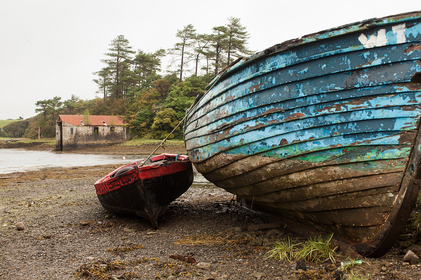
The fishing community is a busy hub, and the small downtown delivers a shock of colour at every bend: a travelling amusement park lights up with rides; fuchsia-lined streets lead to vegetable-filled farmers’ markets; and wool store windows show off a rainbow’s worth of scarves. That evening the ocean is wild, smashing away at the crust of the earth and rocking the boats in the harbour.
We all know by now that few who wander are really lost. We choose our own adventures as sole explorers in new lands, and sometimes we find ourselves perching, cautiously, near cliff edges—whether there may have been a path to get there, or not.
Photos courtesy of Tourism Ireland.